
Google has introduced WeatherNext 3, a global model grounded in recent satellite observations. It produces hourly forecasts and reaches 5-kilometer resolution for selected surface variables.
Quick answer
| Change | Benefit |
|---|---|
| Live satellites | A more current atmospheric picture. |
| Hourly refresh | Faster tracking. |
| Up to 5 km | More local detail. |
| Integration | Search, Gemini, Maps, Cloud and Earth Engine. |
Five times finer
WeatherNext 2 mainly used a 25-kilometer grid at six-hour intervals. The new model reaches 5 kilometers for surface temperature and moisture, useful around coasts, mountains and valleys. It combines satellites, historical analysis and weather stations.
Better precipitation modeling
Google uses NASA IMERG observations and its own satellite-radar reanalysis. Reported gains depend on baseline and lead time, so better averages do not guarantee one storm. The model also predicts turbine-height wind, clouds and solar radiation.
Across Google products
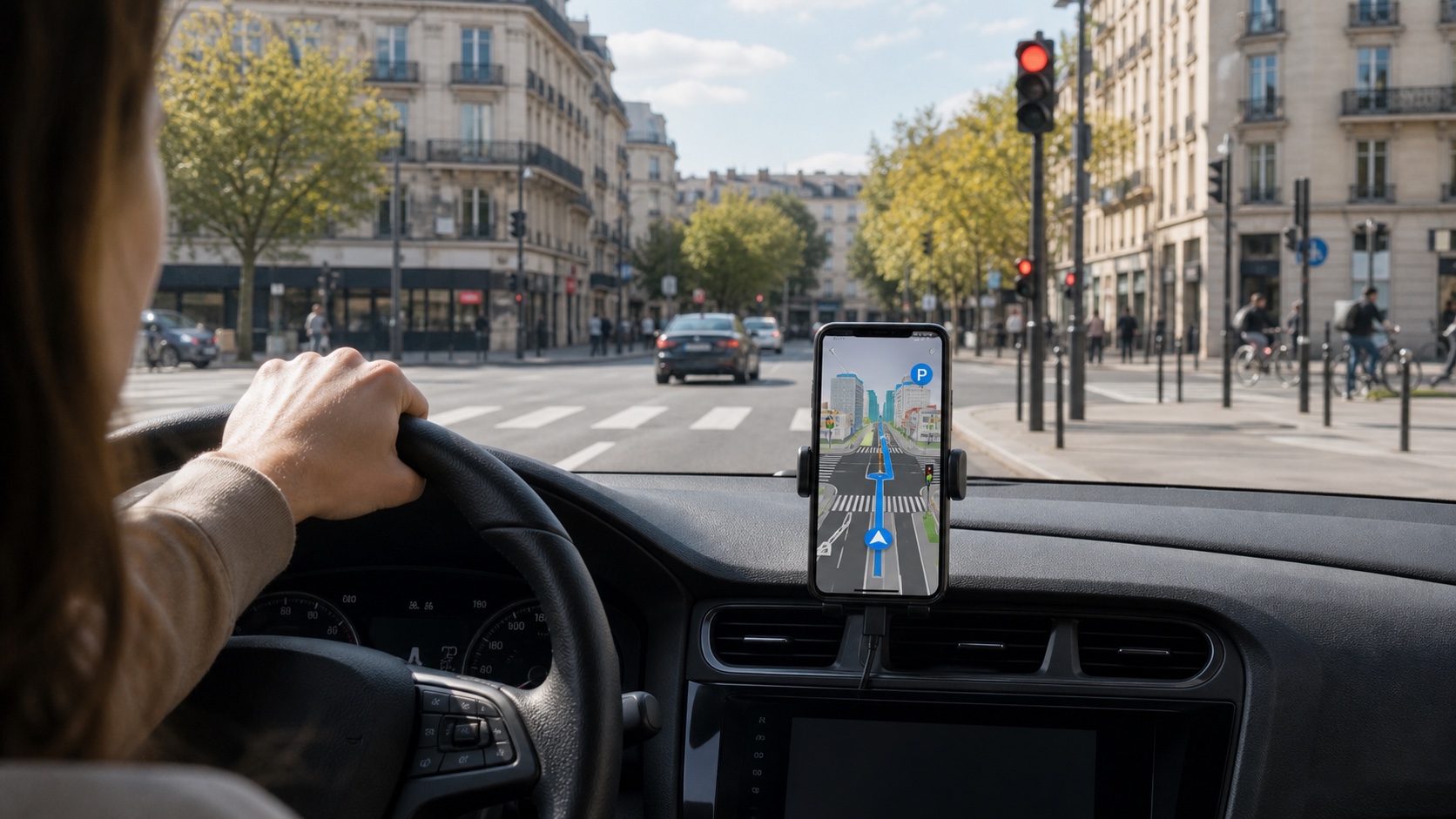
WeatherNext 3 is beginning to power Search, Gemini, Maps, the Weather API and Earth Engine. Hourly data is offered through BigQuery and Cloud Storage. Refresh time and source should remain visible to avoid overconfidence.
Official warnings still lead
The model can help plan an outing or estimate energy generation. For warnings and evacuations, Google still recommends national weather agencies. Real impact will be measured by everyday rain forecasts, not laboratory scores alone.

Join the discussion
Comments
Loading comments…